
Mapping the way to success
Accurate, timely geospatial solutions — from satellite image processing to GIS databases — that help you make informed decisions.
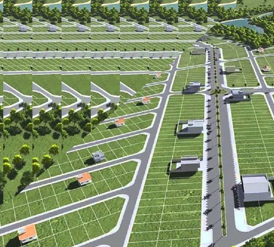
Precision land survey with the latest instruments
DGPS, Total Station, Auto Level, Rover and UAV drone surveys for engineering, cadastral and Swamitva Yojana projects.
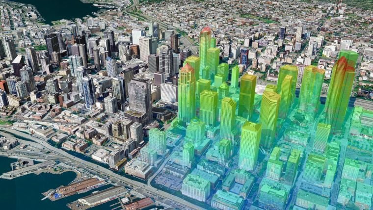
Turning spatial data into smarter cities
3D city models, LiDAR and digital (BIM & CIM) modelling for urban planning and infrastructure management.

Your step towards future
Real-time data processing, environmental analytics and ITT-Council certified GIS & Remote Sensing training.
Experience
Years of hands-on field and GIS project experience deliver precise, efficient mapping.
Skilled Team
Engineers, scientists, environment experts and GIS specialists under one roof.
Cutting-Edge Technology
DGPS, total station, drones, LiDAR and the latest GIS & remote sensing software.
Quality Assurance
Rigorous QA/QC so every dataset meets the highest standards of accuracy.
Timely Delivery
Process-centric execution keeps your project on time and on budget.
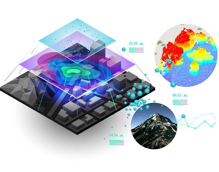
Shaping the future of Land Survey & GIS Mapping
Established in 2017 in Chh. Sambhajinagar (Aurangabad), Maharashtra, Flyview GIS Technology Pvt. Ltd. provides Land Survey and Geographic Information System (GIS) mapping services with a supportive, highly skilled technical team — so you get quality, quantity and on-time delivery using the latest technological tools.
Our engineers, scientists, environment experts and GIS specialists are well-versed in state-of-the-art digital mapping and analysis technology, offering a complete one-window service at a very competitive price — without ever compromising on quality.
- Land Survey – DGPS, Total Station & Drone
- GIS Mapping & Spatial Database Management
- Remote Sensing & Satellite Image Processing
- Cadastral & Swamitva Yojana Mapping
- Watershed, Mining & Environmental Analysis
- Authorised GIS & Remote Sensing Training
Survey, GIS & Remote Sensing Services
A complete one-window service for accurate geospatial data – from field survey to analysis-ready GIS.
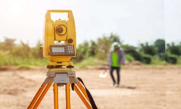
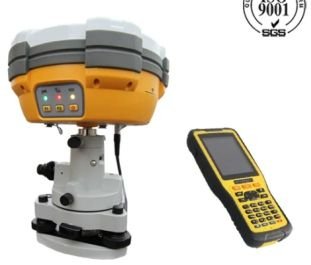
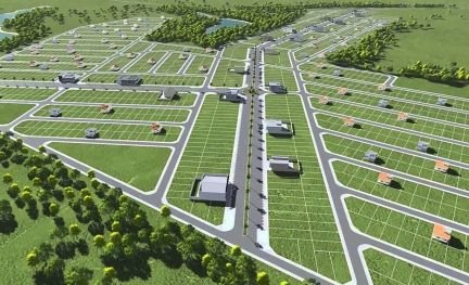
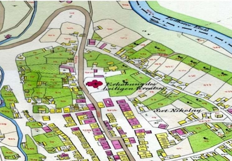


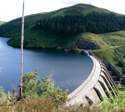
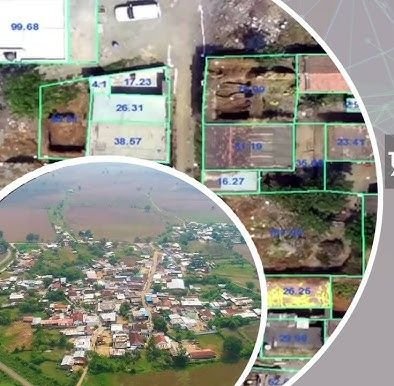

Advanced Survey Instruments We Use
Welcome to Flyview GIS
Welcome to Flyview GIS Technology Pvt. Ltd.! We take pride in our commitment to excellence in Land Survey and GIS mapping services. Our journey, which began in 2017, has been characterised by continuous growth, learning and innovation.
We believe in the transformative power of GIS and are dedicated to harnessing it for the benefit of our clients and the communities they serve. Our skilled professionals are the backbone of our operations, and their dedication to quality and precision is unwavering.
As we continue to grow, we remain committed to our core values of integrity, innovation and customer satisfaction — no matter the size or complexity of your project.
Mission, Vision & Values
Our Mission
We aim to revolutionise global understanding through advanced geographic information solutions, making spatial data more accessible and valuable.
Our Vision
As trailblazers in geographic information systems, we strive to shape a future where spatial data empowers well-informed decisions across diverse industries worldwide.
Our Values
We are committed to precision, innovation and accessibility. Upholding sustainability and collaboration, we aspire to make geographic information universally beneficial for a connected and sustainable world.
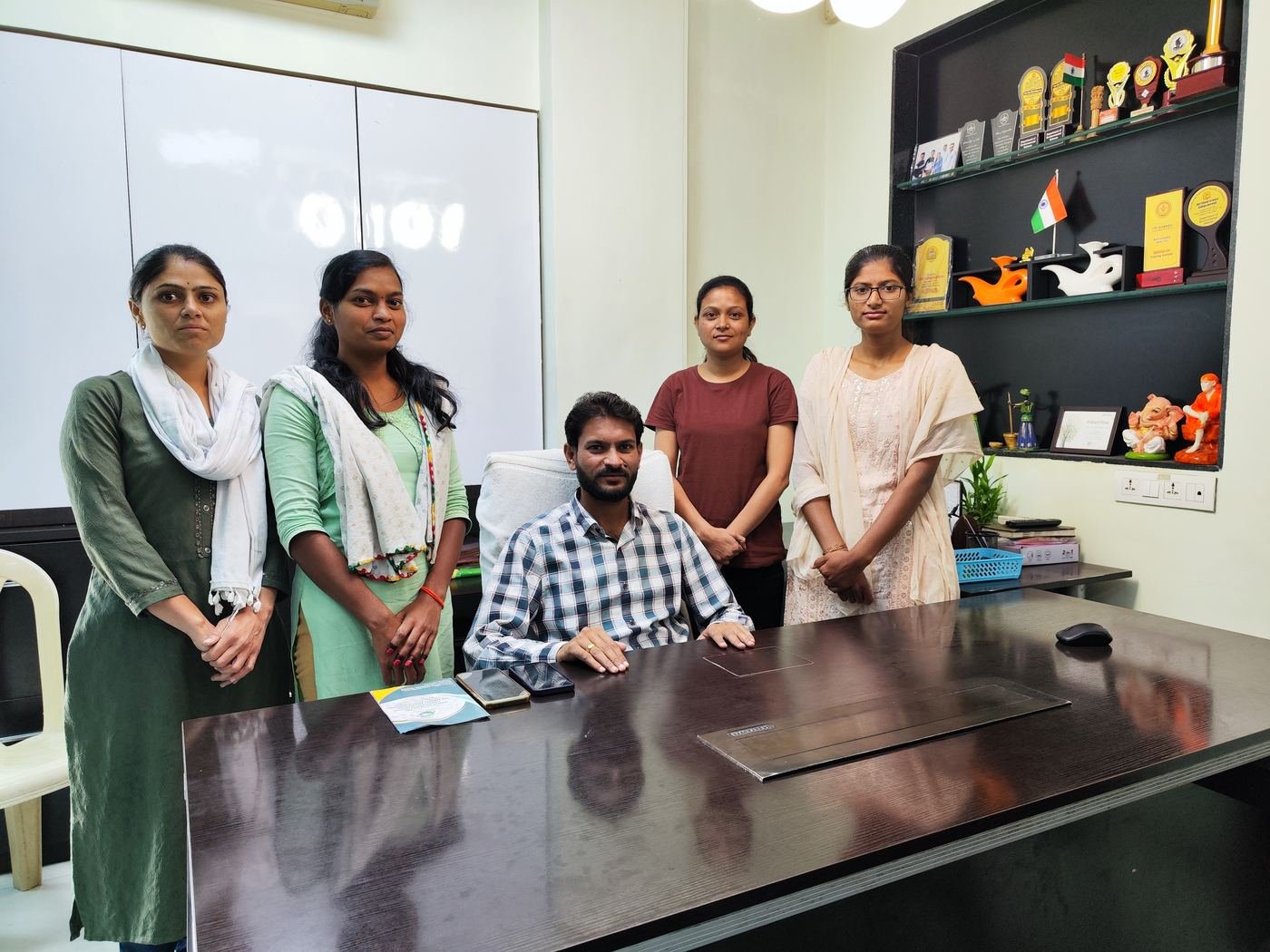
Why Flyview GIS Technology?
All your geospatial and technological needs under one roof — delivered by a young, enthusiastic and highly capable team.
Sound experience with data of various Government sectors at the local level
Works with data of any source or format
A team of highly capable technical and functional experts
Quick, reliable delivery – on time and on budget
Significant cost advantage with the lowest cost structure
Daily and weekly work reporting as per your need
Process-centric approach and pilot-based methodology
Transparent, seamless and guaranteed communication
Trusted by Government & Industry
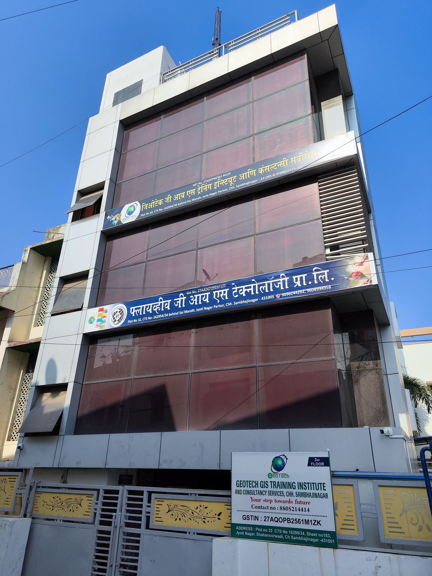
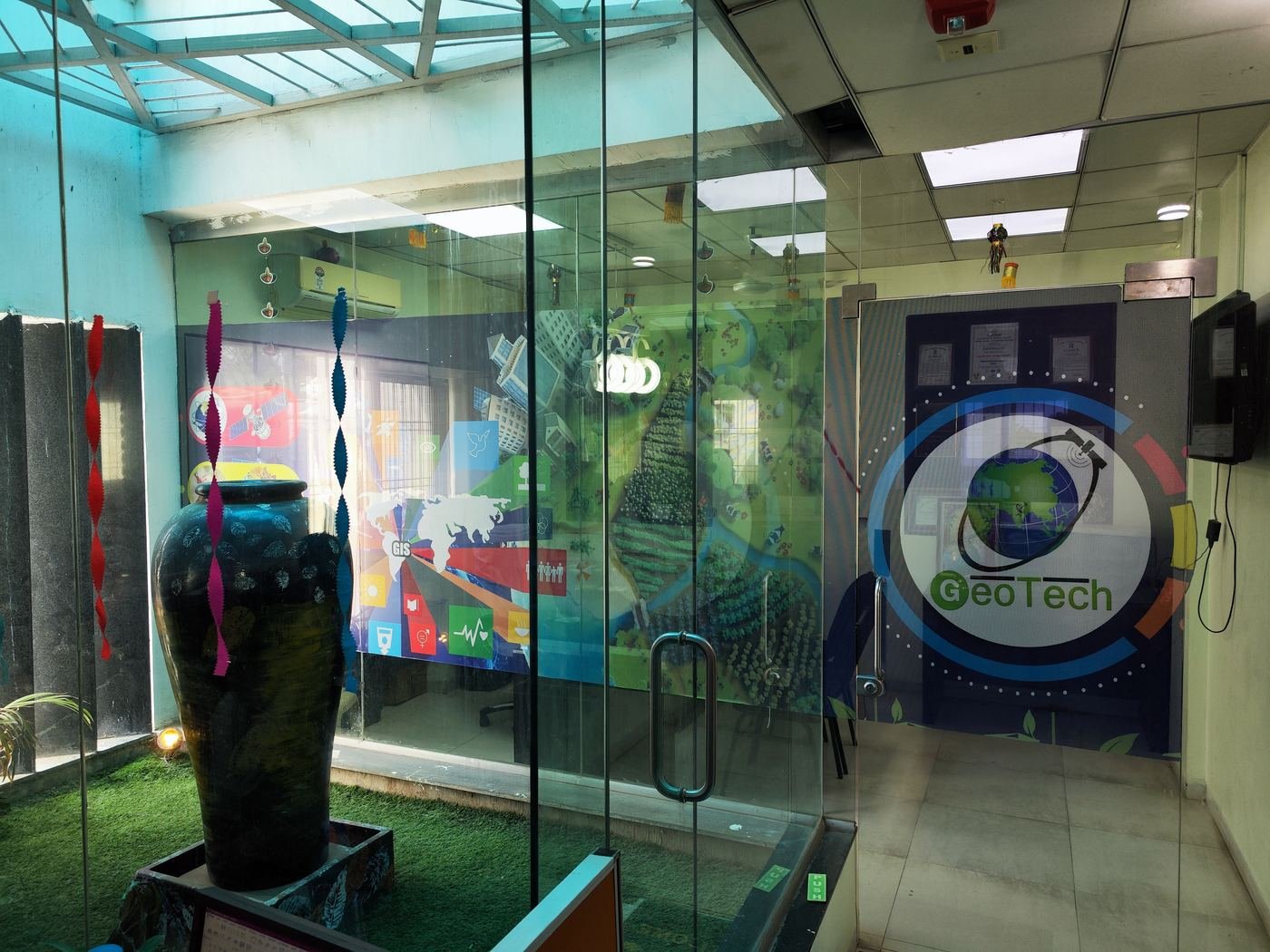
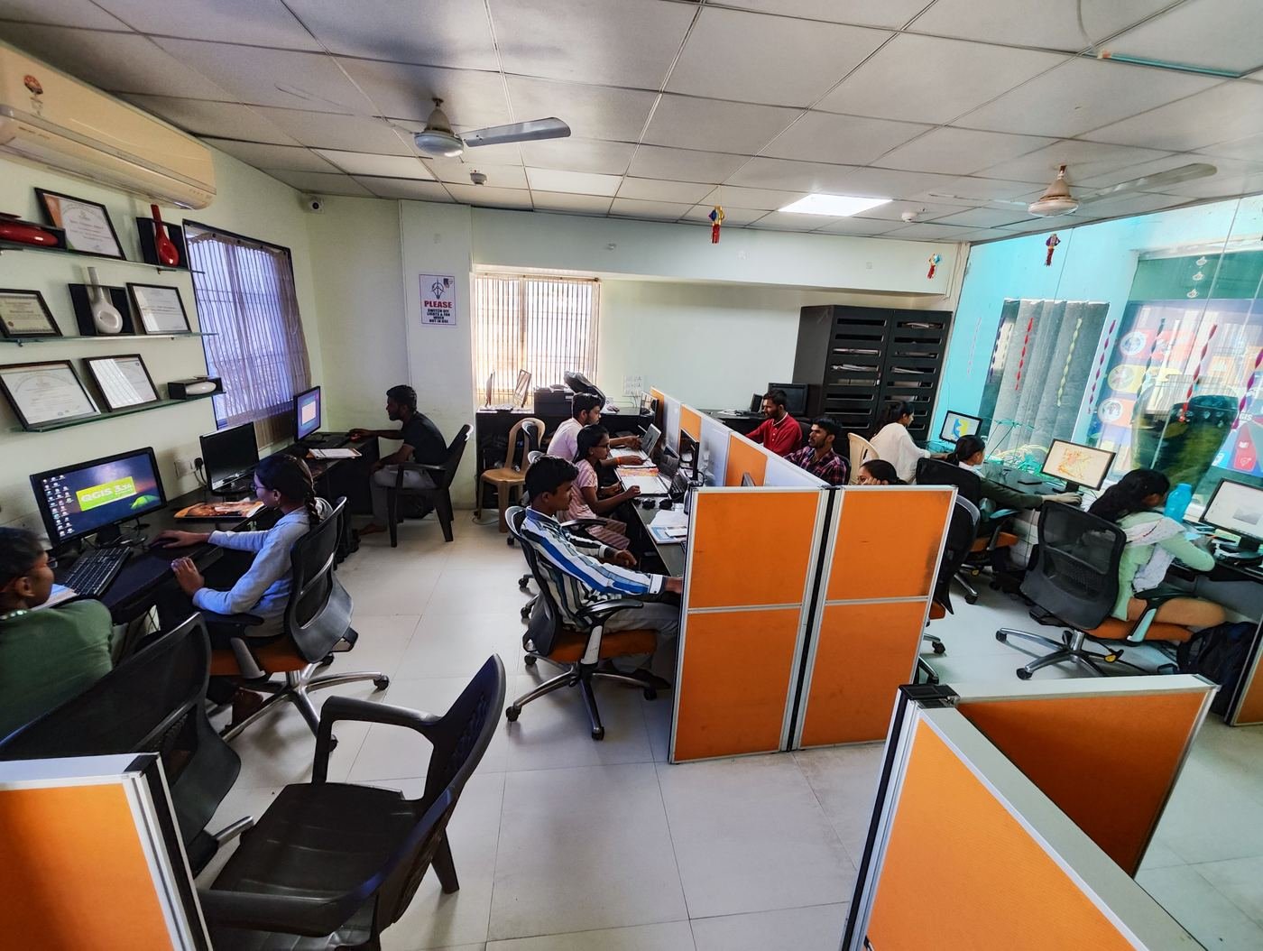
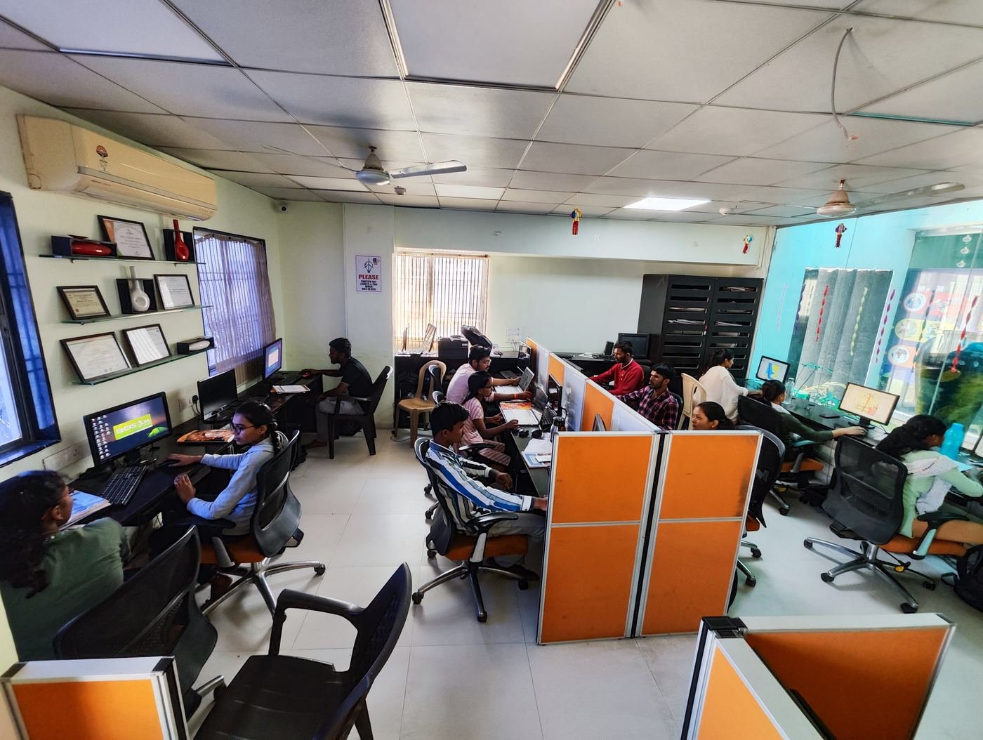
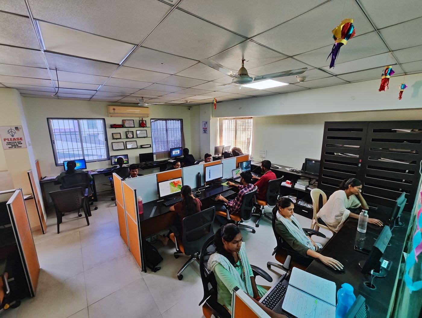
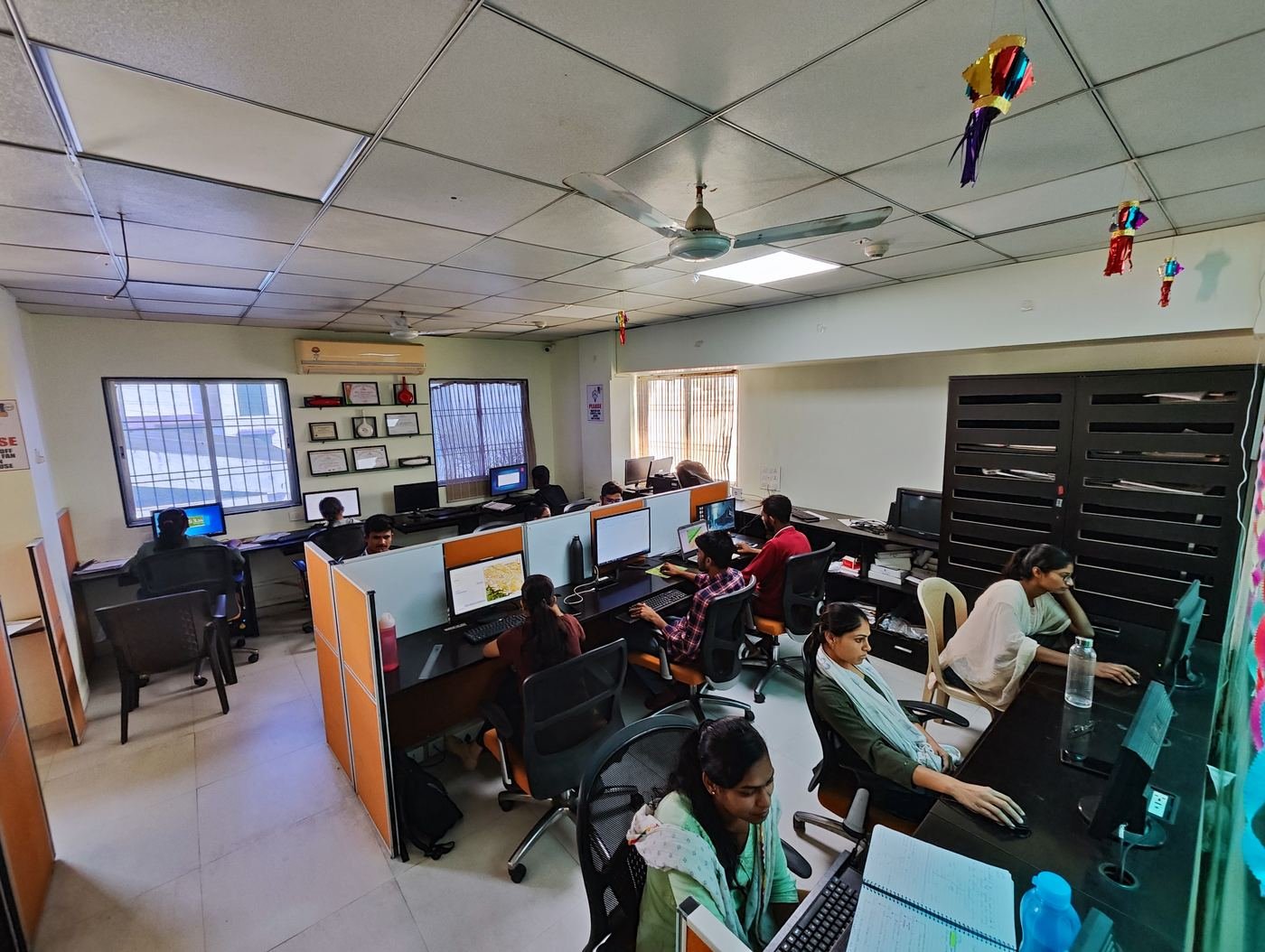
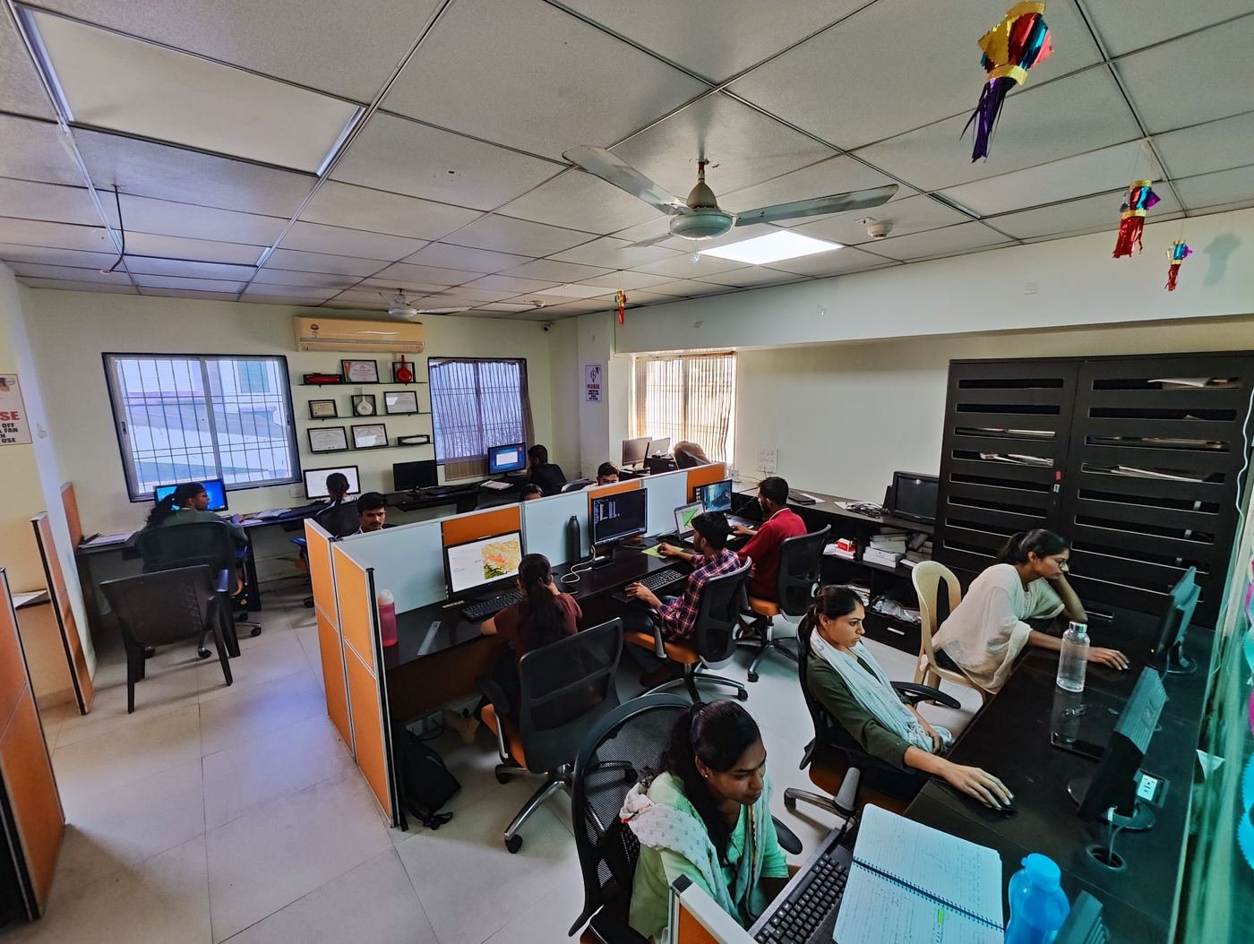
Our Office, Labs & Work
Have a survey or GIS mapping project in mind?
Tell us about your requirement and our experts will call you back with the right solution and a competitive quote.
- +91 90962 44262 / +91 8975715065
- flyviewgis@gmail.com